
See it earlier.
Build it smarter.
We continually explore how technology can improve the way projects are understood, planned, and built. From reality capture to digital coordination, we connect new tools with practical construction experience.
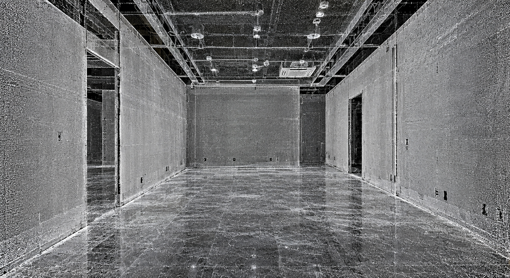 01 / CAPTURED CONDITIONS
A point cloud preserves a measurable record of visible conditions. Review the environment after the site visit, instead of relying only on selected dimensions.
Technology with
construction behind it.
Innovation is an ongoing part of how we work. We evaluate technologies, refine our workflows, and look for better ways to capture conditions, coordinate information, and support project decisions. Our construction experience helps us judge where a tool can add practical value.
We keep exploring.
We explore developments in LiDAR, aerial capture, 360° documentation, modelling, and coordination software. We assess how these tools can improve the information available to owners, designers, trades, and construction teams.
We connect technologies.
A tool becomes more useful when its information carries into the next stage. We connect captured conditions with drawings, models, clash detection, and construction planning, refining the handoffs between technologies and disciplines.
We test against real needs.
We assess technology against practical questions: Does it reveal a condition earlier? Make an interface clearer? Support fabrication or installation? Our construction experience keeps the focus on usable information and project needs.
We improve the workflow.
We use what we learn through project work to refine capture methods, documentation, coordination, and delivery. The goal is a more connected process and records that remain useful through handover, maintenance, and future work.
Find the issue.
Before the field does.
Digital tools matter when they help answer a project question. We use them to understand what exists, review how systems fit, and identify where more information or coordination is needed.
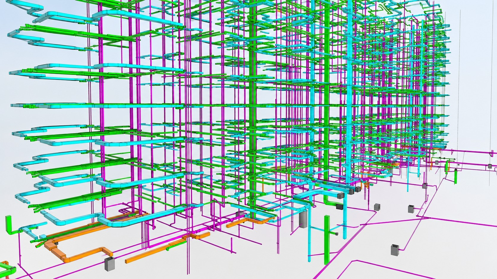 01 / Multidisciplinary coordination
One environment. Connected systems.
Bring proposed services and building information into a common model to review routes, relationships, and installation interfaces.
Explore BIM / VDC ↗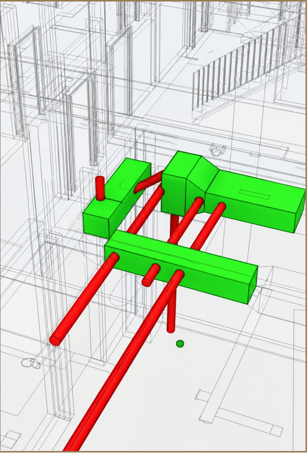 02 / Clash detection
Make conflicts visible.
Identify competing spatial requirements before fabrication or installation. Issues are reviewed with the responsible designers and project team to determine the appropriate response.
Connect to pre-construction ↗From what exists.
To what comes next.
The same information can support capture, documentation, modelling, coordination, planning, construction, and future asset use. Scope and deliverables are tailored to the project.
Capture
Record accessible building conditions.
Document
Develop measured plans and records.
Model
Organize existing and proposed information.
Coordinate
Review interfaces and potential conflicts.
Plan
Inform scope, budget, procurement, and sequence.
Build
Apply coordinated information to delivery.
Record
Update information for the next project.
↳ The record becomes the starting point for future work. Technology supports judgement, field verification, and collaboration; it does not replace them.
The right tool.
For the right question.
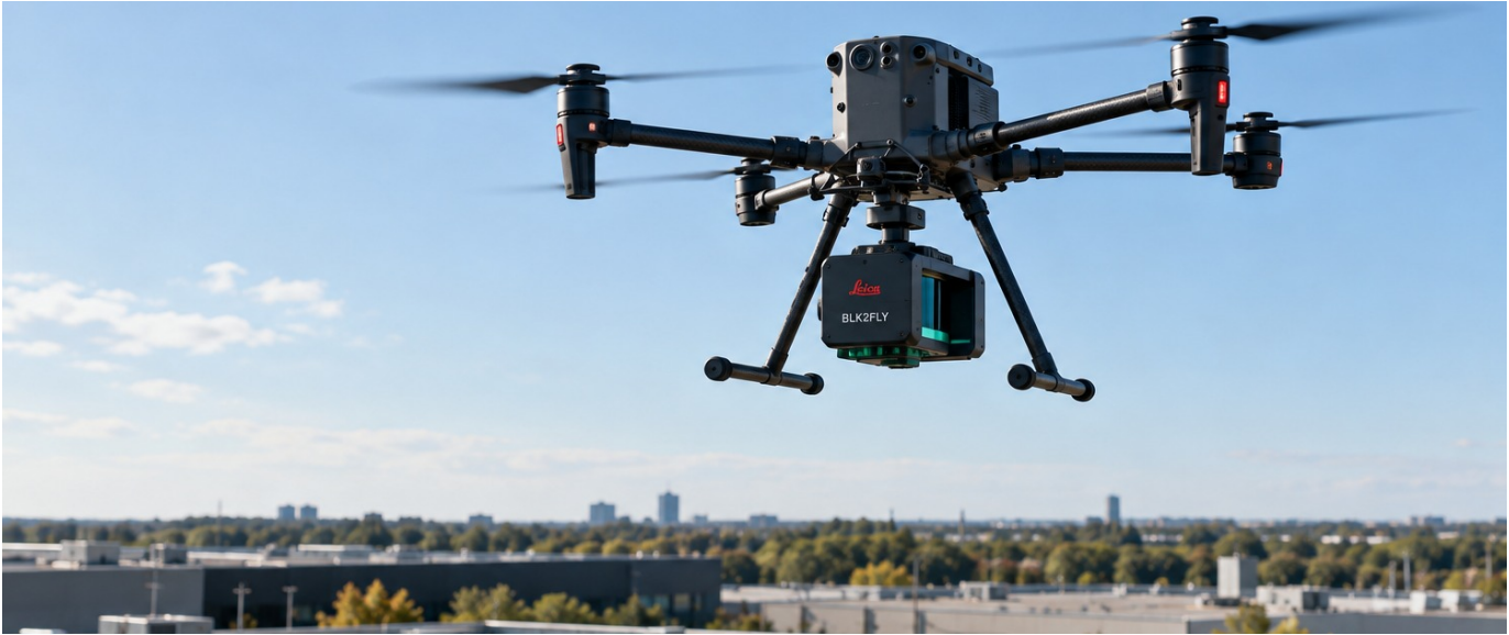
Ground-based scanning, aerial capture, photography, and field verification each reveal different information. We select the approach around the building, access, intended use, required accuracy, and agreed outputs.
Better information.
A stronger starting point.
Tell us what you need to understand, coordinate, or deliver. We will help define where digital information can add practical value to your project.